|
|
| |

The maps in this folder have been customized to be printed in black-and-white. In the majority of the maps, countries are not labeled so that they may be used in classroom exercises. We recommend that you print these files by selecting the map you desire by clicking on the small version and either a) printing the large map directly from the web or b) saving the large print map file to a disk by clicking the right button on your mouse keypad and selecting the "save image as" option, and then printing the files from your disk. For best results, be certain to select "landscape" under the orientation option in your print setup.
To find maps that have been customized for viewing on-line, go to the Map Gallery.
Learning Module Maps
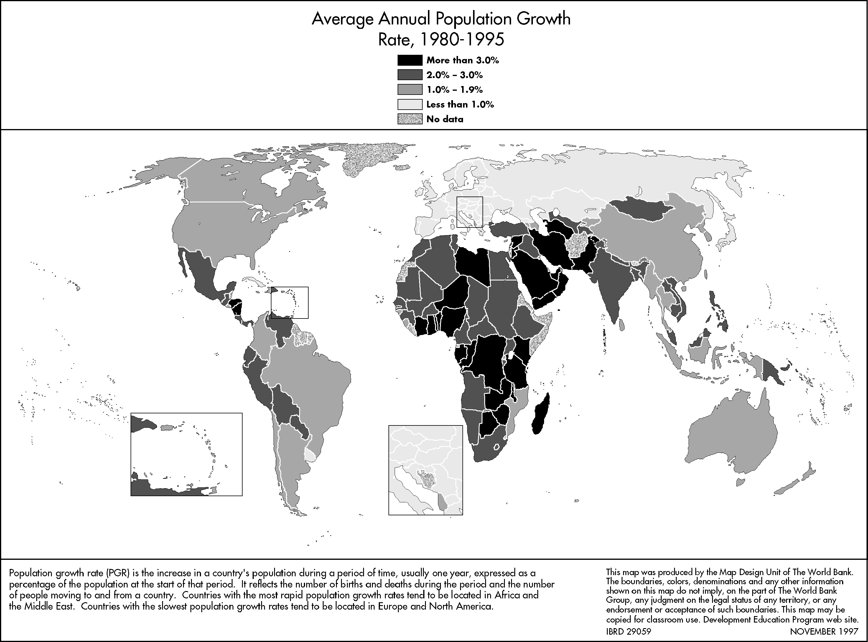
Average Annual Population Growth Rate, 1980-95
|
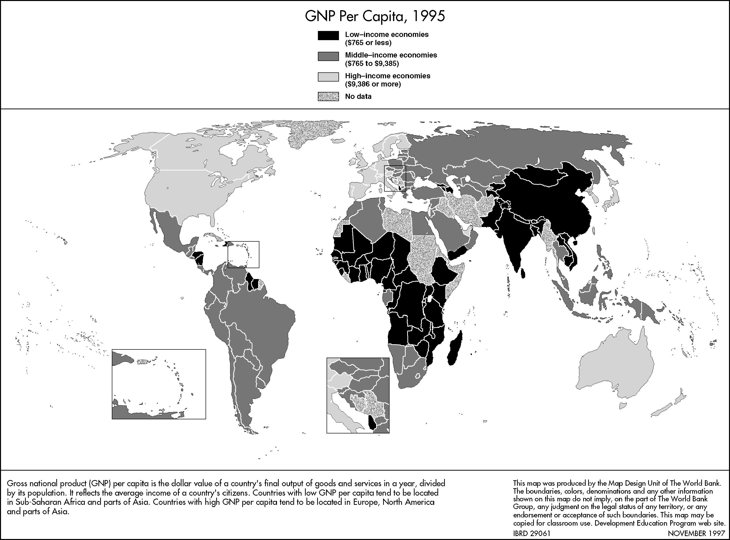
GNP per Capita, 1995
|
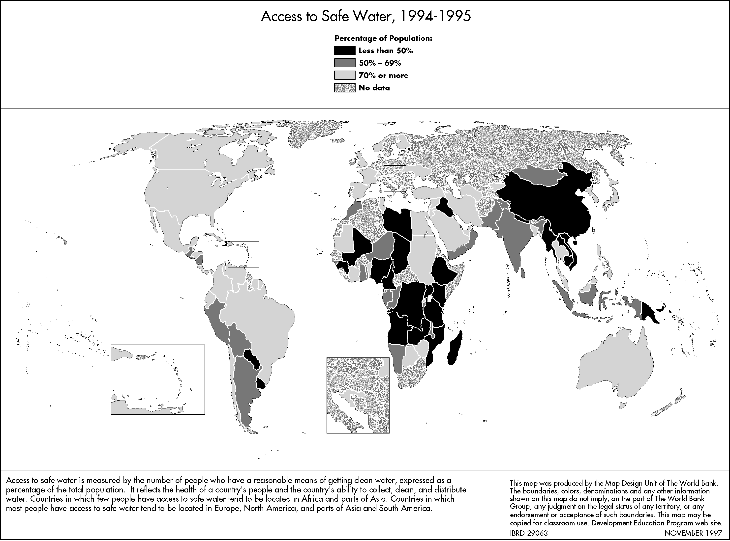
Access to Safe Water, 1989-95
|
World and Regional Maps
World Map, 1997
|
World Map, 1997
|
Asia (South & East) and the Pacific
|
Europe and Central Asia
|
Middle East and North Africa
|
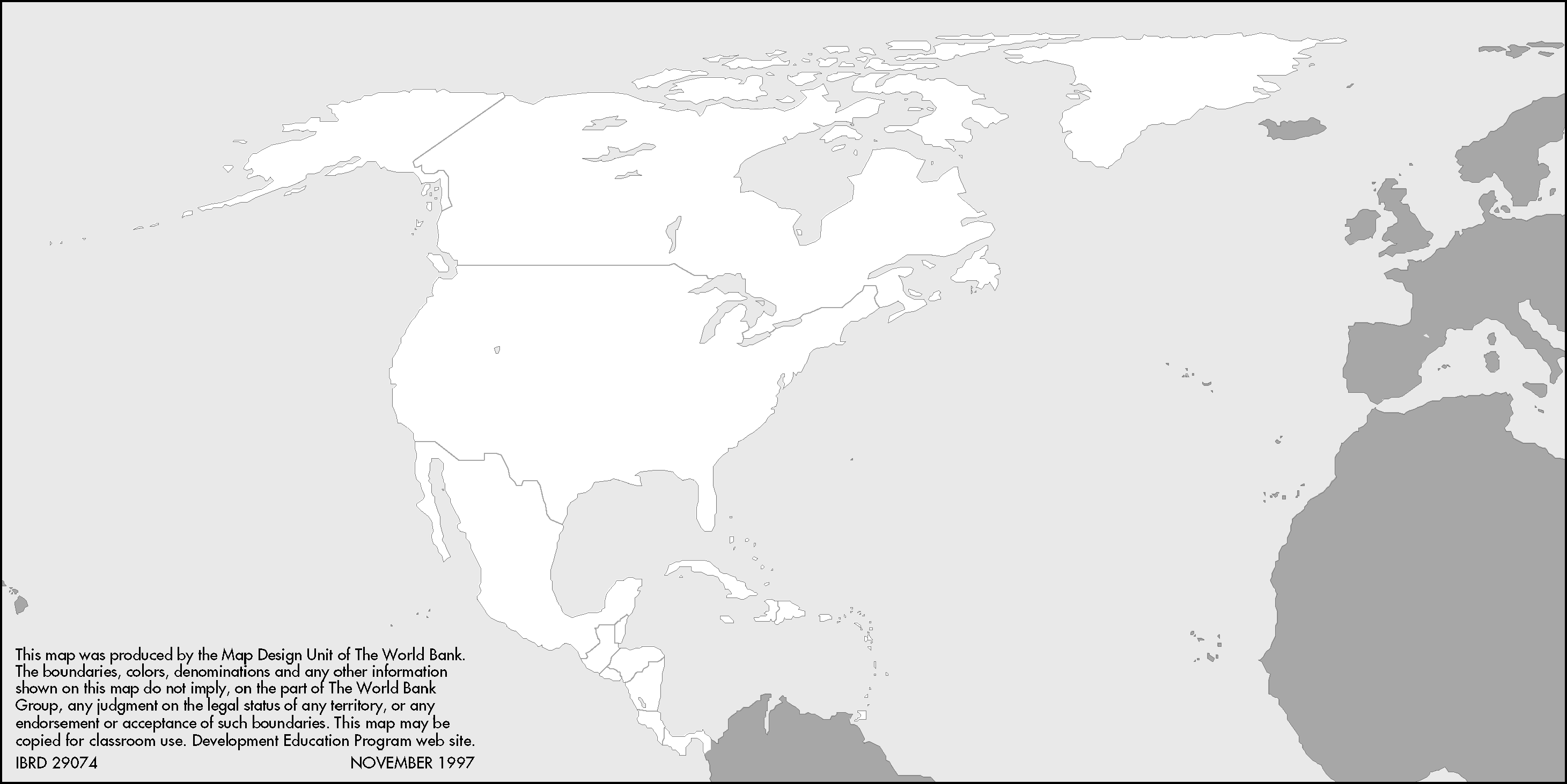
North and Central America and the Caribbean
|
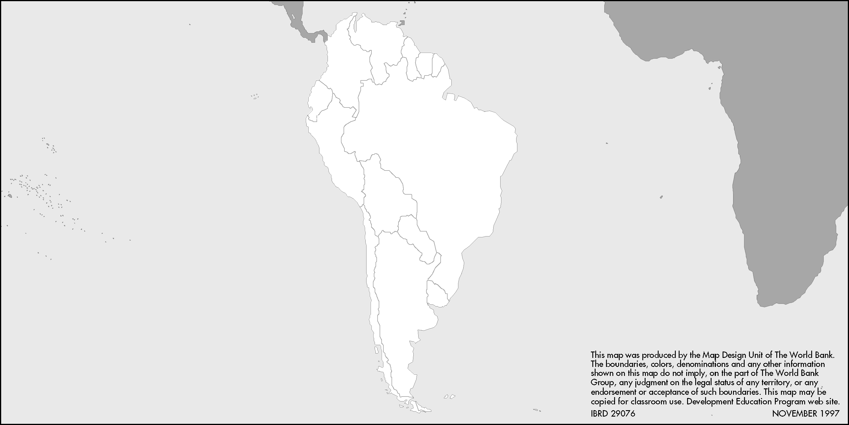
South America
|
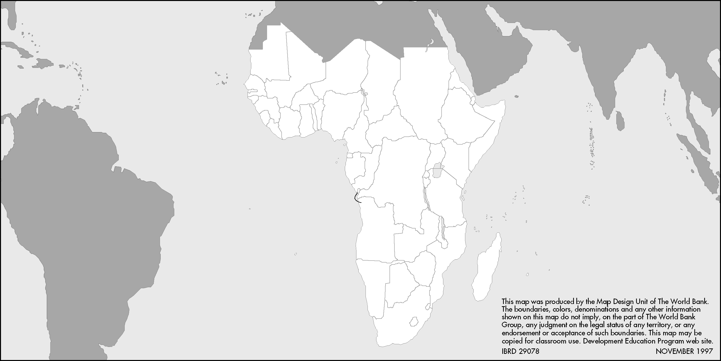
Sub-Saharan Africa
|
Learning Tools Matrix
| Map Gallery FolderHome
| Site Guide | Modules | What's SD? | SD Post | Resources | About DEP | Feedback| Copyright � 1998
IBRD/The World Bank |
[email protected] |